The Top 5 Best Hikes in Zion National Park
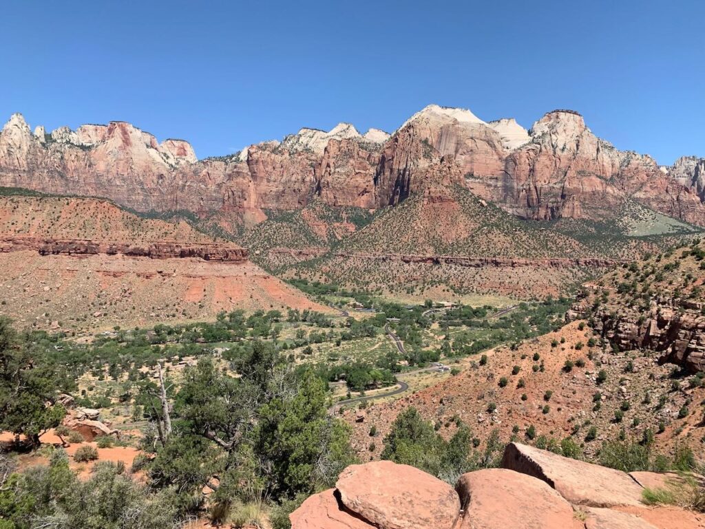
The best hikes in Zion National Park offer diverse scenery that is different than all other places we have visited. Known for the steep narrow walls in the slot canyons, the rugged cliffs, and the high plateaus. No matter what your hiking level may be, the hikes in Zion National Park range from easy to extreme. In this article, we will cover a description of our favorite hikes in Zion National Park, things to know before you go and what you will need to be successful in your adventure.
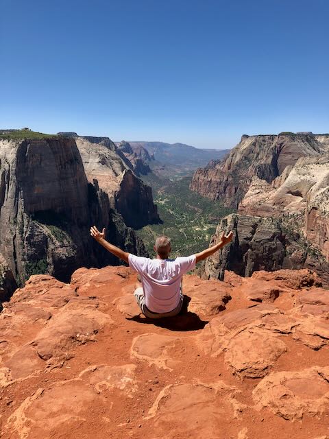
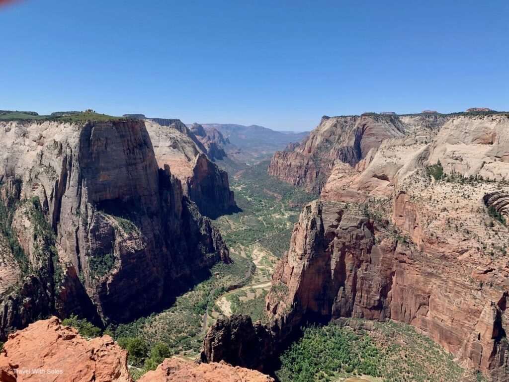
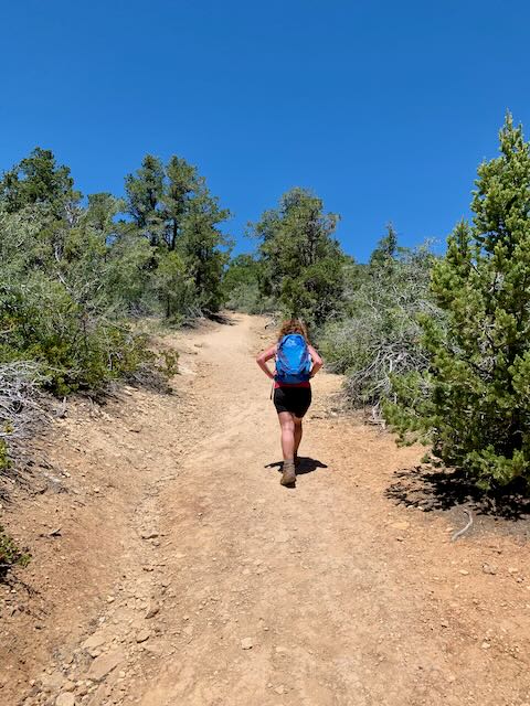
1. Angels Landing Hike
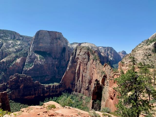
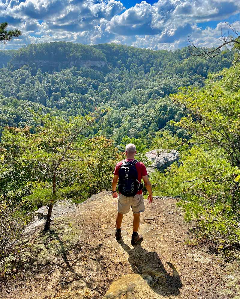
By far, Angels Landing hike is the best hike that exists in Zion National Park. As you stand on the peak, this entire hike screams “OMG how BEAU-TI-FUL”. If you love living on the edge, you are literally next to the edge at over 5,000 feet and hanging on to a chain link.
Hint: If you are afraid of heights we do not recommend this hike.
The hike can be started from various locations throughout the park. We suggest starting at the Grotto picnic area which is located on the shuttle bus stop #6, directly across from the Angels Landing trailhead.
- Distance: 5.4 miles (out and back)
- Difficulty: Strenuous
- Elevation: 1,500 feet (gain)
- Time: Half-day minimum
- Shuttle stop #: The Grotto – Stop #6
Plan your Angels Landing Hike
Equipment
- Permit for Angels Landing Hike (New for 2022)
- Hiking shoes or boots that grip (a must)
- Backpack (Its important you keep your hand free on the last section)
- Water – Several liters per person or more.
- Sunscreen – Most of this hike is not shaded (a must)
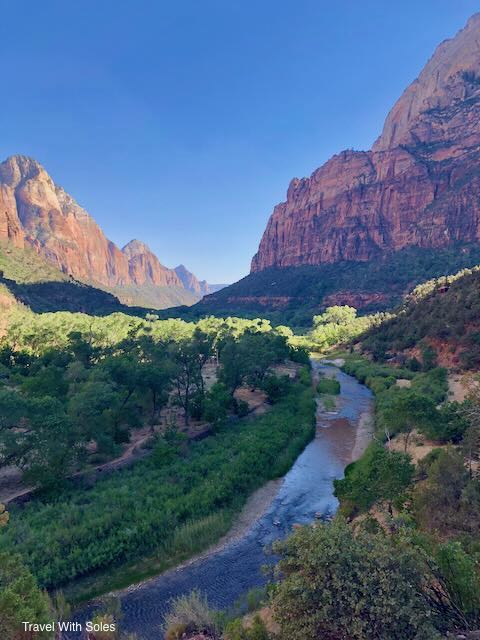
2. Watchman’s Tower Hike
The Watchman Tower hike starts from the National Park Visitor Center and is a family-friendly hike where you can see into the Canyon or look back into the town of Springdale. The trail starts as a leisurely stroll alongside the river. After the river, the trail veers off to the right and heads into the canyon at a relatively steep incline will begin.
- Distance: 3 miles (round trip)
- Difficult: Moderate (family friendly)
- Elevation: 370 feet (gain)
- Time: 2 – 2.5 hours
- Shuttle Stop #: Visitors Center – stop #1
Psst: Keep your eyes open for wildlife. If you are as lucky as we were, you may see a mule deer grazing near the river. We saw the mule deer at the first part of the trailhead near the river.
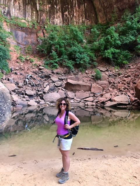
3. The Narrows
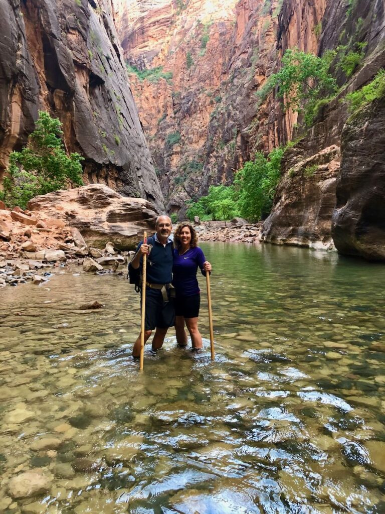
Surrounded by steep sheer canyon walls, while wading through the crystal clear Virgin River, you cannot help but gasp from the beauty around you. The Zion Narrows which is the polar opposite of Angels Landing offers a spectacular view of the bottom of the river bed. We aren’t sure if the term “hike” is the correct term for this adventure since you start at a very shallow river bed and at times may find yourself in water up to your shoulders.
This hike is an out and back and you may hike for an hour or an entire day. What makes the Narrows so great, is that beauty you can be found from the minute you hit the river bed no matter how far you choose to travel. If you’re a nature enthusiast that is not up for hiking through the water, the Narrows offers breathtaking views right at the “bottoms” at the beginning of the narrows. It is worth your time to head to the Zion Narrows.
- Distance: (up to 4.7 miles one way).
- Difficulty: Difficult (may experience a small current and slippery rocks
- Elevation: N/A
- Time: Up to a full day (you choose your distance)
- Shuttle Stop #: Temple of Sinawava – Stop #9
Plan your Narrows Hike
Equipment
- Waterproof Canyon boots (can be rented from several places in Springdale and near the National Park Visitor center) – We highly recommend this
- At minimum waterproof sturdy shoots (no sandals or open-toed shoes, it would be miserable and not safe)
- Hiking Poles (Can be rented in Zion)
- Waterproof backpack and dry bag for your belongings and phone
- Wear Synthetic close, no cotton (cotton holds water and makes you cold)
Know Before you go
Be Conscious of the weather! The Narrows is known for flash flooding and storms come up intermittently throughout the day. Do not take this lightly, the sun could be shining in Springdale at the same time it is raining in The Narrows. This is very important!
4. Emerald Pools Hike
The Emerald Pool hike starts across from the Zion Nation Park Lodge and contains the lower, middle, and upper Emerald Pools. This is an easy, family-friendly hike and is more of a beautiful nature walk. The lower and the middle pools start at the Lodge and loop back to the lodge. The upper pools is a short .25 mile of the loop. You may choose to visit only one of the hikes or all three.
- Distance: 1.2 miles to lower pool (out and back) | 2 miles to lower and middle pool (round trip) | 2.5 Miles for all three (round trip)
- Difficulty: Easy, Family Friendly
- Elevation: N/A
- Time: 1-2 hours
- Shuttle stop #: Zion Lodge, #5
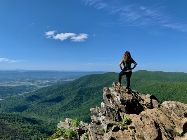
5. Observation Point Hike
Observation Point hike is a close second to Angels Landing Hike when speaking of views and beauty. The panoramic view is utterly unique, and the entire canyon reminds me of something you would see on a calendar.
Know Before you go: As a result of a flash flood in 2019, our favorite and most picturesque trail route for the Observation Point hike via the weeping rock shuttle stop has been closed (wha-wah-wah). At this time, you are in luck, since there is an alternate trail that exists.
Directions to get to trail heads leading to Observation Point:
- Weeping Rock shuttle stop #7 – Trail Closed
- East Rim Trail – Trail Closed – Trail Closed
- East Mesa Trail (via Beaver Road) – Trail Open (This is out of the Park).
Observation Point Via East Mesa Trailhead
Driving Directions: From the Zion National Park Visitor Center, take highway route 9 approximately 14 miles, and turn left onto N. Fork Road for 5.2 miles and then another left onto W Zion Ponderosa Resort Road. Continue 1.5 miles and turn right on Beaver Road for 1.2 miles and then another right on Rock Road for .3 miles to Rocky Road.
- Distance: 8 miles (out and back)
- Difficulty: Easy – 3.5 miles | Moderate – strenuous .5 miles
- Elevation: Steep trail for the last section
- Time: Half day to 3/4 of a day
- Location: Mesa Trail Head (You must drive outside of the park)
Observation Point Via Beaver Road
Positive:
- Family Friendly
- Easy (but long)
- Gorgeous Views the last .5 miles
Negative:
- The road is outside of the park
- The road is rutty and can get impassable
- The hike is not scenic for the first 3.5 miles
Overall: Worth It!
Just a reminder…
Get your Permit for Angels Landing Hike
A permit is now required starting April 1, 2022 to hike Angels Landing. Angels Landing has become so popular and congested, that the National Park Service now requires visitors to make a reservation. The permits will be awarded on a lottery system which can be obtained seasonally or offered the day prior to your hike. The application cost to apply is $6 and if awarded a permit the cost is $3 per person. To understand the process and apply for a permit, visit the National Park Service website.
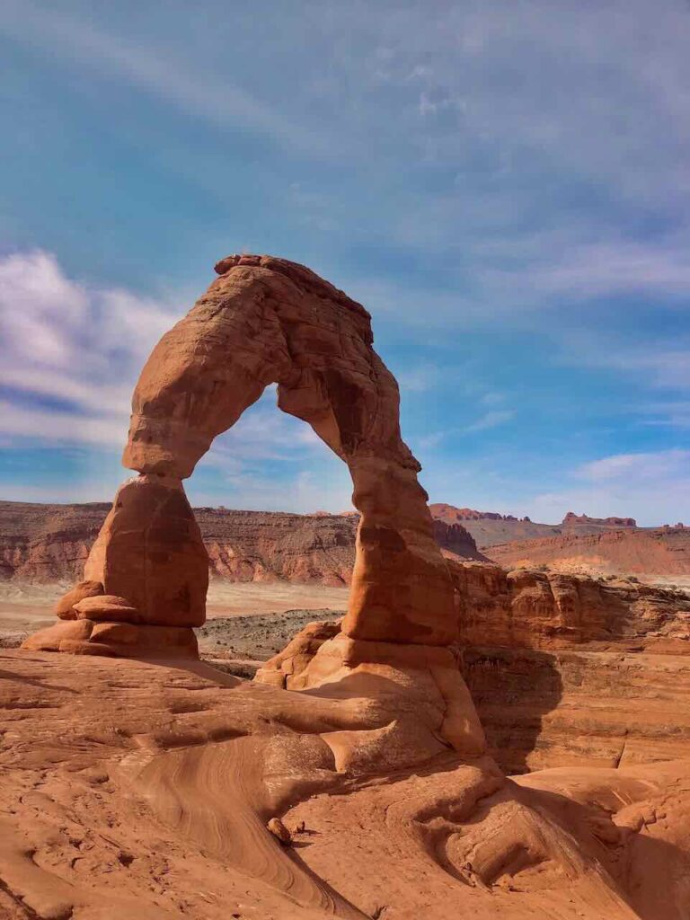
Are you headed to more parks in Utah? Check out our post on Hikes in Arches National Park located in Moab Utah.