The Best Hikes in Red River Gorge Kentucky
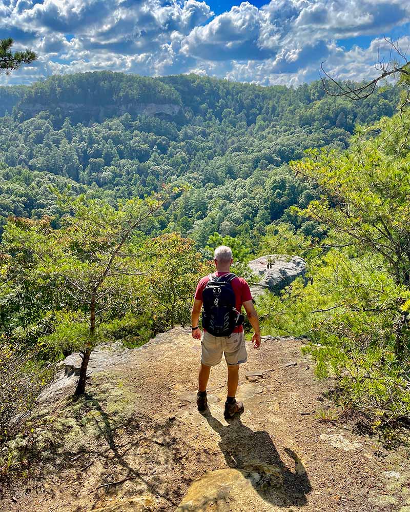
If I to had to describe hikes in Red River Gorge in one word, it would be “picturesque”. Hidden in the Gems of Kentucky lies the Little Grand Canyon of the south, filled with over 100 natural arches, beautiful bluffs, caves, and rivers.
We’ve done an abundance of hikes in the “RED” over the years, and we’ve put together our recommendations of the best hikes in Red River Gorge. This article includes plenty of details to help you plan your next experience.
1. Natural Bridge State Resort Park
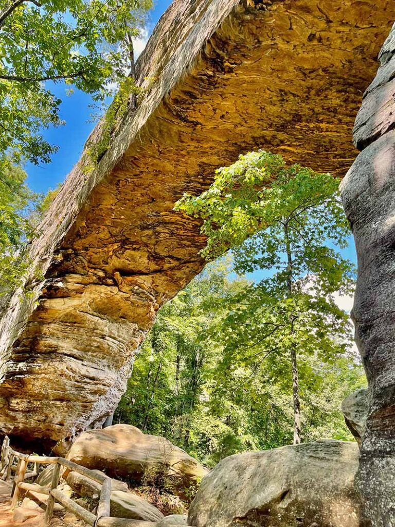
Encompassing over 2,300 acres, the Natural Bridge State Resort Park offers an array of hiking trails to explore, although the main attraction is the beautiful Natural Bridge. There are a handful of ways to get to the Natural Bridge, but our favorite place to start is from the Hemlock Lodge parking area.
As huge hiking enthusiasts ourselves, we are always looking for JAW-DROPPING views, picture-worthy moments, and taking notes along the way, to share our experiences with you. So, to help you get the most out of your hike, we’ve put together the most scenic route below:
Natural Bridge Hiking Directions
- Balanced Rock Trail: Ascends to the Natural Bridge
- Laurel Ridge Trail: Take this trail out to “Look Out Point” for exquisite views
- Battle Ship Rock Trail: To Needles Eye Stairway
- Original Trail: Back to the parking lot
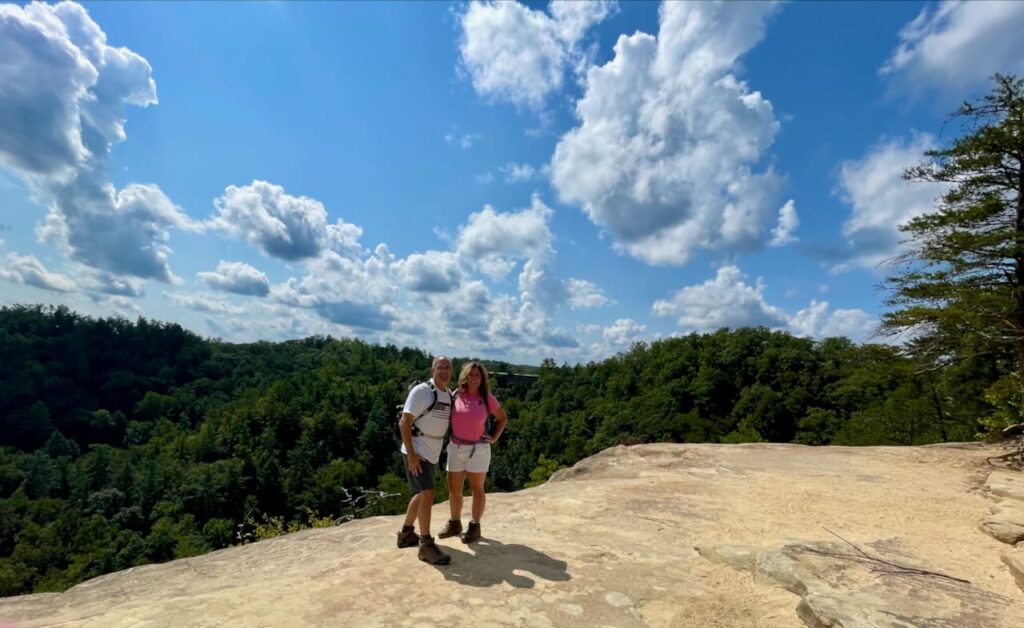
Directions: From the Mountain parkway (exit 33), head west 3.4 miles on highway 11 to the Natural Bridge State Park entrance, turn right, and head to the Hemlock Lodge.
- Distance: 2-5 Miles
- Difficulty: Moderate
- Time: 3 hours

Insider Tip: Cell phone coverage and GPS can be very spotty throughout the gorge. We suggest you take a screenshot of the directions and trail map before you start your adventure.
2. Rock Bridge Trail
The rock bridge trail loop is a spectacular trail (#207) that combines a natural bridge and waterfall in one loop. Although this is considered (one of many) hikes in Red River Gorge, this hike resides at the boundaries of the Clifty Wilderness section of the Red River Gorge Geological Area.
Directions: At the junction of KY-15 and KY-715, turn north onto Sky Bridge Road (also known as KY-715N) and travel .2 of a mile and turn right onto Rock Bridge road. Travel approximately 3 miles to Rock Bridge trailhead, which is trail #207. It may feel like these three miles go on forever, just keep driving until you reach the end of the road.
- Distance: 1.5 (Loop)
- Difficulty: Easy-Moderate (family friendly)
- Time: 2-3 hours
Creation Falls
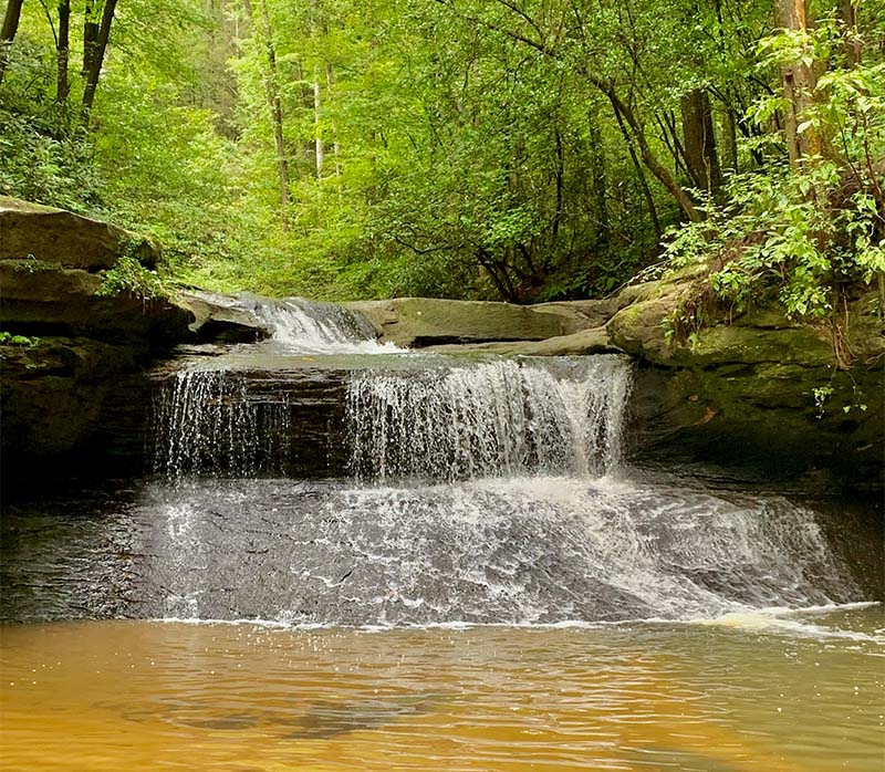
As you approach Creation Falls, it’s worth taking the time to play at the top of the falls and circle down to the sandy beach area for a front-and-center view of the falls. It is a great place for a picnic lunch or to take a break. After enjoying the falls, continue on the trail to reach Rock Bridge Arch.
Rock Bridge Arch
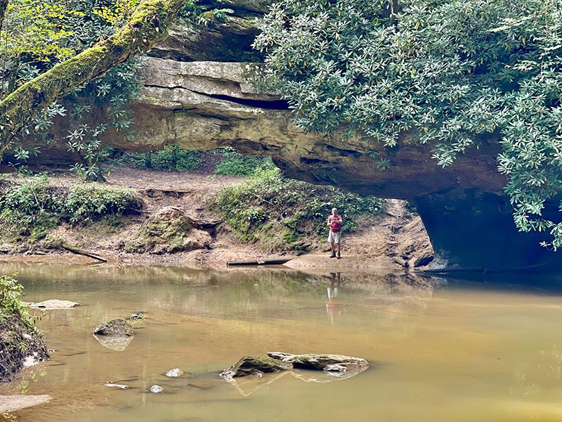
As you continue down the Rock Bridge Trail, the first glimpse of the bridge will be on your right. It is the only arch in the Red River Gorge that is considered a waterfall arch.
As you continue, you will come to a spur and stay to the left to complete the Rock Bridge Trail loop. If you choose to continue onto the right, the Swift Camp Creek Trail (#219) is 6.9 miles long and ends up at the Angels Window parking area. In the past, we have completed the long trail and did not find it scenic.
What is a Waterfall Arch?
It is an arch that is formed by a waterfall flowing over resistant rock layers and eventually cutting through the rock.
3. Chimney Top Trail Area
Directions: At the junction of KY-15 and KY-715, turn north onto Sky Bridge Road (also KY-715N) and travel 2.1 miles and turn left onto Chimney Top Road. Travel 4.5 miles down a gravel road to the Chimney Tops and Princess Arch parking area.
Chimney Top Overlook Trail
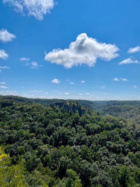
More of a quick walk rather than a hike, the Chimney top overlook trailhead offers amazing panoramic views of the Red River Gorge. You can see for miles on a clear day. This is a “MUST SEE” stop in the “RED”.
- Distance:. .3 miles
- Difficulty: Easy (Family Friendly)
- Time: 10 minutes
Princess Arch Trail
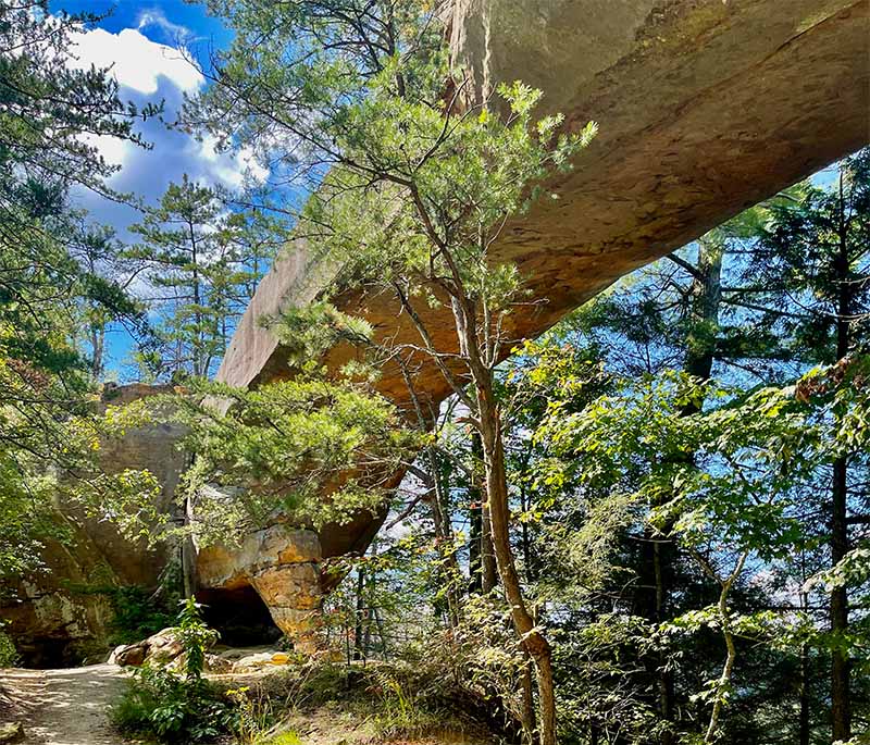
Princess Arch is a quick, fun, family-friendly hike that spans 32 feet long and follows a wooded ridge line through Rhododendron bushes and a thick forest.
- Distance: .25 Miles (out and back)
- Difficulty: Easy
- Time: 30 minutes
4. Sky Bridge Trail
- Distance: 1-mile loop (Go over the top and down under)
- Difficulty: Easy, with stairs (Family Friendly)
- Time: 2 hours
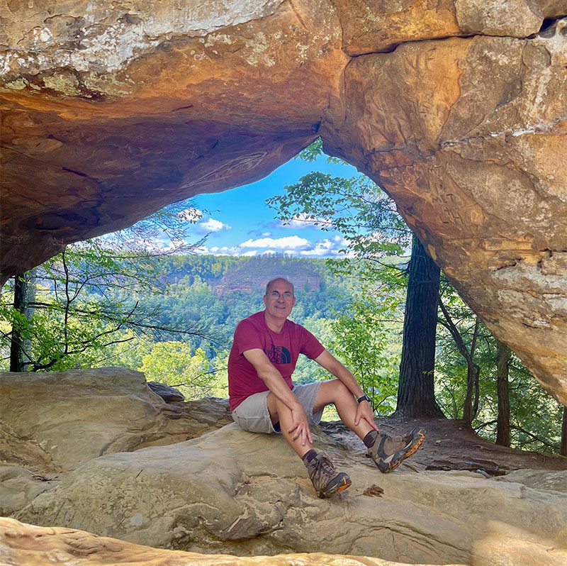
Sky Bridge Trailhead is located at the end of the Sky Bridge parking area. The trail starts at the top of a high ridge and leads to the natural arch. You will have beautiful panoramic views as you make your way across the bridge. The trail will then take a quick turn down to explore the bottom of the bridge. What makes this hike unique is the elevated views from both the top and the bottom.
5. Buzzards Roost Trail

- Distance: 2 miles (out and back)
- Difficulty: Moderate to Strenuous (Last .18 miles is not family friendly)
- Time: 3 hours
Consisting of two hikes, the Buzzards Roost Trail is located on the west side of the Sky Bridge parking area. We suggest Buzzards Roost South for the best views.
You will be starting on the top of a ridgeline, hiking through several backcountry campsites, and descending down a steep ridge where you will scramble down a large crack in the rock. If the scramble is a bit much for you, then go past it, and there will still be an opportunity to see amazing views.
If you’re looking for more fun places to visit, check out our other posts.

